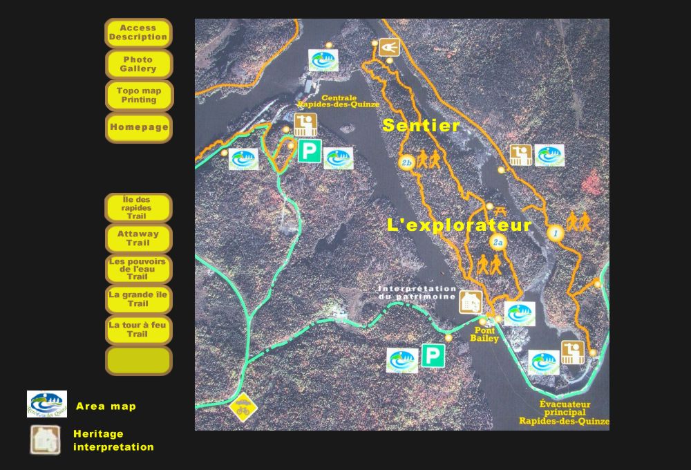
For trail areas, as well as for a trail in particular,
consult the
Site Area Map and the accompanying text for road assistance.
Access to the Explorateur Trail
The Chemin du Pouvoir is the preferred access to
this trail. (See Site Area Map and travel assistance). Follow the signage
and keep right to arrive at the Bailey Bridge and parking area. Just past
the bridge take the stairs to the explorateur
trailhead which consists of two trail loops).
Description
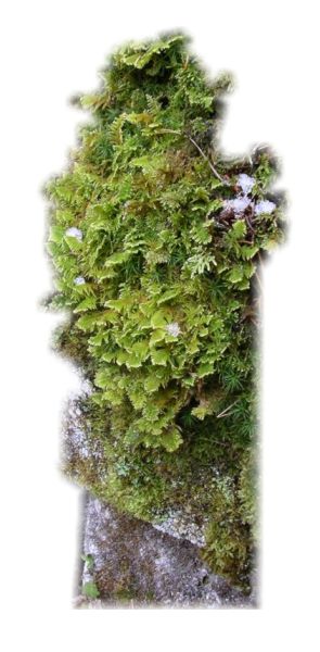
Trail # 2 consists of, two trail loops. loop1 is 1,2 km in length while the other is 3,4km. Both are intermediate level trails for summer use only.This trail is situated on Kakake island and named because of a small adjoining Kakake Lake, which means square in Algonquin. This very intimate trail is part of an old valley that was once shaped by turbulent waters. Evidence is plentiful with numerous : undercut rocks, an old waterfall, wetlands, kettle basin (dolly tubs) 4 to 5 meters in diameter and in depth and located 16 meters above water level. In the summertime, as we stroll a damp environment trapped between two cliffs, we can appreciate a number of different moss and lichen specimens. If we take loop 2 on right, northbound on the island and go down into a kettle basin, we should feel the sun rays and can admire the beautiful landscape as we come back by the south ridge.
![]()
![]()
![]()
![]()
![]()
![]()
![]()
![]()